From the Schratt Villa in Hietzing
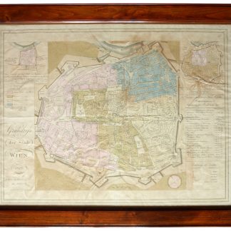
Grundriß der Stadt Wien 1812.
Vienna, Artaria, 1812.
630:780 mm. Engr. map in original colour. Original Biedermeier frame with four brass corner fittings.
€ 1,500.00
This city map showing 1317 houses with their respective numbers was first published in 1802 as "Historischer Grundriß der Stadt Wien". It also shows two small historical plans (during the second Turkish siege in 1683 and in the 12th century).
Formerly owned by Katharina Schratt and removed from the so-called Schratt Villa in Hietzing's Gloriettegasse; cf. the written statement by the heirs of the map's last owner, the collector Josef Ringer (1916-2008).
References
Eckl coll. IV, 755. Not in Mayer coll.
Related
-
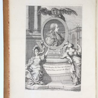
Brevis notitia urbis veteris Vindobonae ex variis documentis collecta Josepho …Vienna, 1764.
€ 400.00 -
Rundgemälde von Wien und dessen Umgebung aufgenommen nächst der Spinnerin …Vienna, 1855.
€ 9,500.00 -
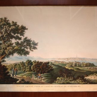
Vue de Vienne prise du coté du chateau de Schönbrunn.Paris, ca. 1830.
€ 3,500.00 -
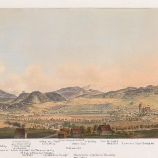
[Laxenburg bei Wien in bildlicher Darstellung.Wien, 1820-1826.
€ 750.00